The Caribbean's recent encounter with Hurricane Beryl, the first major storm of the 2024 North Atlantic hurricane season and the strongest ever recorded for the month of June, has underscored the critical importance of Disaster Risk Reduction (DRR) efforts, particularly the role of Multi-hazard Early Warning Systems (MHEWS). Despite the severe impact of the hurricane, these systems have proven their value in mitigating damage and protecting lives. The coordinated efforts in Barbados, Grenada, and Saint Vincent and the Grenadines (SVG) serve as testament to the progress made and the areas that still require attention.
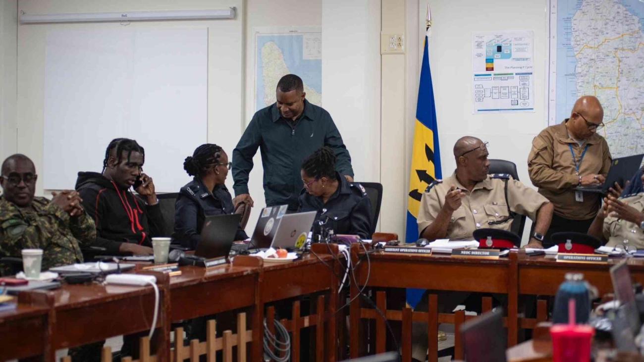
Barbados recently approved its Multi-Hazard Early Warning Systems (MHEWS) policy, establishing clear roles, sustainability, and financing for the system. This framework was put to the test during Hurricane Beryl, and the results are promising. The Barbados Meteorological Services (BMS), Department of Emergency Management (DEM), and Geographic Information Systems (GIS) collaborated effectively to provide timely warnings. The United Nations Office for Disaster Risk Reduction (UNDRR) supported the DEM with data generation, aiding in developing multi-hazard impact scenarios, significantly enhancing preparedness, planning and response strategies. These coordinated efforts strengthened preparedness and helped Barbados reduce the hurricane's potential impacts.
In Grenada and SVG, the collaboration and strong coordination between the Caribbean Disaster Emergency Management Agency (CDEMA) and the United Nations Emergency Technical Team (UNETT) chaired by the United Nations Resident Coordinator, in the framework of the Caribbean Development Partners Group for Disaster Management were vital. Similarly, at the regional level the Caribbean Institute for Meteorology and Hydrology (CIMH) monitored the storm progress and shared updates with CDEMA and other stakeholders, notably by creating forecasts and models predicting the hurricane's potential impact, track, intensity, and potential landfall areas. While these two countries suffered important damages, the coordination between the different actors facilitated an effective response, especially in the disaster-declared zones of Carriacou, and Petite Martinique, in Grenada, and Union Island, Canouan and Mayreau, in SVG. Despite initial logistical challenges such as rough seas and road blockages, the operational seaport in Carriacou enabled the timely distribution of relief items.
Information management and coordination efforts were crucial in improving the response's effectiveness by identifying data sources and characterizing the affected areas. The collaboration with Microsoft and MapAction allowed for precise analysis of satellite imagery from Planet and COPERNICUS, respectively, providing critical information on infrastructure damage shortly after the hurricane's impact. This integration was pivotal in identifying the location of damaged infrastructure and facilitating a rapid response, while supporting the actions of different response clusters, such as the shelter one.
Continue reading this story at the website of the United Nations Office for Disaster Risk Reduction (UNDRR).


